Showing posts with label augmented reality. Show all posts

November 22, 2012

is there a space in cyberspace for geography ?

Searching and searching for everything and anything we still haven't found and if already found then searching how to reconstruct and reinvent. Like the new urban image the WIFI-scape or Urban terrain as the Norvegian YOUrban group calls it.
That's who we want to be - the Inventors.

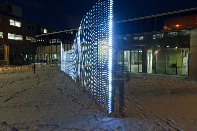
LightPainting WIFI from YOUrban group (http://yourban.no/)
And so we need more 'space' for Inventions, and so we expand it! Expanding spaces, realities, cognition.. 
Does this expansion affect us as individuals, as society? Does it also expands our research raising new questions, opening new fields or even forming new sub-sciences or indeed it just let us create new terms and subjects to manipulate about the the same things like spaces?
Such questions grew up after reading an article about the Geography and Cyberspace by M. Graham. Indeed an interesting and easy to go article well presenting the background or the 'hi-/-story' of a cyberspace. What the most interests me is the relation of cyberspace with geography. As it's clear geographers don't seem interested in this topic (no big research done) at all, but as the author tries to prove they should be, because the cyberspace as itself is a sort of space and therefore it should also be reviewed from geographical perspective.
At that point it seems for me that the article is written in as much serious as with a slight ironic mood

July 23, 2011

3D history visualization - augmented reality with Archeoguide

Acheoguide is one of European Information Society cultural projects.
The idea of the project was to build a system providing new ways of information access at cultural heritage sites in a compelling, user-friendly way through the use of advanced IT including augmented reality, 3D-visualization, mobile computing, and multi-modal interaction as the project website is stating.
Although the paper written to summarize the results of the project seems the project worked out, I've just accidentally found about it and have never heard before what probably tells it wasn't so applicable.

Here's the video how the end product looks like and the impressions of the tourists with small presentation how the mobile device used for visualization works.

ARCHEOGUIDE is based on a  client-server architecture.  It comprises three modules: the  Site Information Server, the Mobile Units,  and the Communication Infrastructure.

The top-of-the-range Mobile Units (the one you see in video), is the laptop-based one, built on a Toshiba Satellite laptop  computer,  A  Differential GPS receiver and a digital compass are hooked on the laptop to provide position and orientation tracking of the touring user. A PC camera with automatic luminance adjustment for capturing live video from the users viewpoint, and a special Augmented Reality (AR) Head-Mounted Display (HMD) in the form of a pair of see-through sunglasses for displaying AR worlds featuring monument reconstructions on top of their natural surroundings are also attached to the laptop. (Vlahakis et al. 2002)

There is much more information available, you can find on Archeoguide publication page.