Showing posts with label border. Show all posts

November 15, 2011

boundary cognition from satellite images

Satellites are swapping around the Earth since 1957 - the launch of Sputnik. Already having a couple of thousands, the number is fast growing nowadays.


Just during the last week reading my rss, I got to know that China has launched Yaogan XII, Vietnam is buying Japanese satellites, Turkish  recently launched satellite RASAT is already transmitting images, Russia is about to launch 4 more GLONASS satellites to existing 28 ones, and so on an so on.. Europe, yes Europe as well, finally launched 2 GALILEO satellites last month. Future, talking about the number of satellites, is amazing..
I am glad we still can see the sky over them.

August 24, 2011

border mapping awareness: responsabilities and tension

How much we are responsible for the information we are given to visualize?
Well, no one can answer and each case might be without a precedent, individual..

What about mapping the new borders of country? Country that had been fighting for the independence and got it. And then,the new borders are not moved on those interactive maps. Those, the most often used, like Google Maps. Hm.. people get more tense talking about political borders..

So, the story is, the South Sudan is still not in Google Maps.

The full story is in Read Write Web

May 22, 2011

function of border: to wall in

The issue of borders keep my mind busy, although it's already long time I live in Europe without borders and I still ask if Europe is really without borders?
If we look back, at the time when a border was a synonym to a wall in Europe..
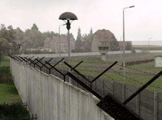
And we can easily do that nowadays, 20 years past. The German National media - Deutsche Welle, has developed a unique project presenting the animated depiction of the former German-German border. Click on the picture to open the video.


May 17, 2011

borders: multifeatured lines

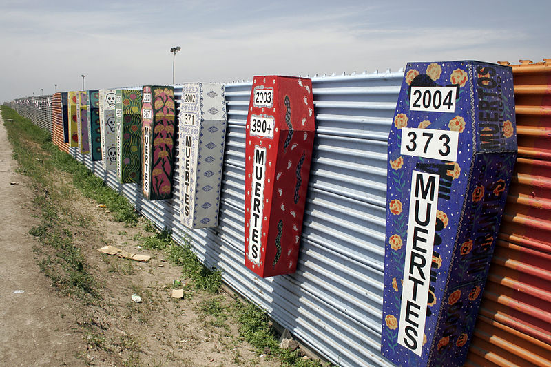
Tijuana-San Diego border  (source:Wikipedia)
There are many boundaries in the world, one of the most official ones in big scale are borders, in other words, political boundaries. How often do we confront with boarders personally? How do we understand them socially?

It is very hard to generalize the notion of border as it depends on us and on the boarder we confront with, but there is a common, social agreement on boarders, their visualization - political map, their definition - laws, their realization - boarder surveillance constructions. There are so many different understandings about the border that it makes boarder variable!