 |
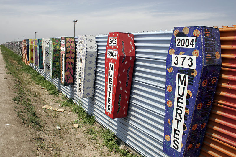
| Tijuana-San Diego border (source:Wikipedia) |
It is very hard to generalize the notion of border as it depends on us and on the boarder we confront with, but there is a common, social agreement on boarders, their visualization - political map, their definition - laws, their realization - boarder surveillance constructions. There are so many different understandings about the border that it makes boarder variable!
Somewhere unstable, shrinking, somewhere growing, walling-in, stabilizing, closing. But thinking about political boarder in GIS terms it often is visualized as one simple line - vector, just enclosing some area within.
Nowadays, having air-transportation, internet, borders just disappear for some people and they start questioning do we need boarders? What do those borders stand for? P. Khanna in his talk on TED says boarders are much more important then they were since nowadays they stand for the economy.. and they are much more violent then we see that. It's not just lines bounding the country, it's the whole network, the network of infrastructure that crosses borders once again provoking the "simple line" notion of border we see on political map.
Maybe it's not the best talk, but the ideas I found their can raise lot's of questions in the relation of the boarder visualization and border cognition. Simplification, surely, is good, but since the childhood you are grown with this political simplification, and indeed it tends to become more and more complex in political terms.
No comments:
Post a Comment