It is interesting to notice that indeed one of the first geographical theories, where done in transportation geography - Central place theory, presented in 1933 by W. Christaller and A. Losh.
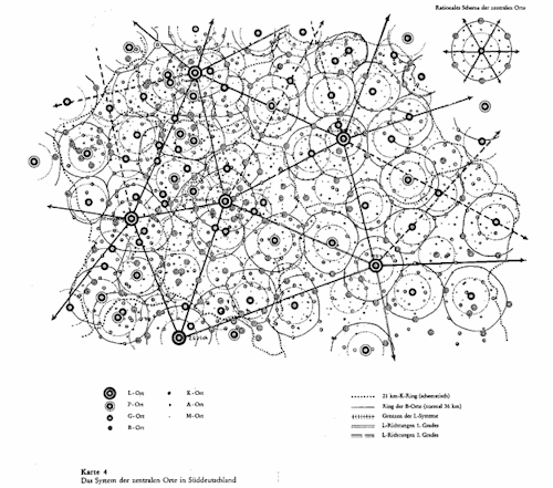
It presented the supply-demand space by distinguishing central places from peripheral. The transportation comes in while talking about the peripheral city accessibility and costs of that. The theory states that "transport cost is proportional to distance traveled" in example, the longer the distance traveled, the higher the transport cost (wiki). Furthermore, it was assumed that the same transportation is used, in that case trucks. The theory stood for long time and it is still standing. The idea is really great, just the assumptions made back in '30ies are already too old to work sometimes, therefore they are changed, new constraints are added and applied to make theory work better. The technology of transportation itself has changed a lot, what clearly results in decreased costs and increased speed depending on possible connections, transportation network. Thus the calculations and visualization results in less and less equal and rounded place patterns we find in central place theory.
A new project on place accessibility recently was presented as Mapnificent API that "provides dynamic public transport travel time maps" (http://www.mapnificent.net).
And it's done by a young German student.
The idea is really well explained in video, have a look!
Mapnificent from Stefan Wehrmeyer on Vimeo.
The project explanation can be found on the the blog of Stefan .
But in short:
> data taken from GTFS Data Exchange,
> calculations done in the system in the browser with JavaScript
> visualization with an HTML5 Canvas overlayed on a Google map.
The aim of the project is stated as to help to find the best place to live, work and meet, besides it helps to discover new things about their public transport system.
Well, the occurrence of such open projects, just reminds that transportation issues are important for everyone. But it is interesting to follow if such application is going to become used wider then for the curiosity, if it is really going to be applied. And can it be used not just for individual purposes, but also for planning: new route planning, bus line time accordance planning, better connections and so on and so on.
No comments:
Post a Comment